Geotechnical Analysis and Subsurface Data Management

Geotechnical Engineering with GeoStudio

GeostudioIcon-White-transparent
Geotechnical applications of PLAXIS - VIRTUOS4U GmbH
Integrated Software Suite

Deliver geoengineering projects with confidence

Reduce risk above ground by understanding uncertainty below.

We’re helping you build a more resilient future by connecting the built world above ground with the hidden world below it.

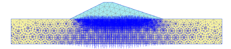
Solve slope stability, groundwater flow, and environmental challenges

geostudio-workflow-earthquake-screen.png
Numerical analysis

Simulate surface and subsurface conditions

Use GeoStudio 2D / 3D for applications like

  • natural soil and rock slopes,
  • regional groundwater systems,
  • excavations and open pit mines,
  • dewatering systems,
  • earthen dams and levees,
  • reinforced earth structures,
  • tailings storage facilities.
Discover which ones are best for your project.

Deep Integration and parallel Processes

What does deep integration mean to you? Information from various data sources is combined in GeoStudio to create a complete view. This gives you comprehensive insights, including about risks.

Change one parameter at a time in the model and run several analyses in parallel.
You can then run processes in parallel
  • continue to generate design sequences,
  • define initial conditions,
  • carry out sensitivity analyses,
  • model complex time sequences or
  • divide a complex problem into smaller packages.

Define, interpret, visualise - Which one is YOUR GeoStudio?

GeoStudio-3D

3D geotechnical Engineering Analysis 

GeoStudio 3D


Your Options:
GeoStudio 3D 
GeoStudio 3D Advanced
GeoStudio 3D Ultimate


Conduct numerical analysis on stability, groundwater seepage, & static/dynamic stresses.
GeoStudio 3D is applicable to soil and rock environments for civil & mining projects.β€―

Perform sensitivity analyses and investigate various design options.


GeoStudio-2D-Advanced

2D geotechnical Engineering Analysis 

GeoStudio 2D


Your Options:
GeoStudio 2D 
GeoStudio 2D Advanced
GeoStudio 2D Ultimate


Simulate surface and subsurface conditions with GeoStudio 2D numerical analysis tools.

Conduct numerical analysis on stability, groundwater seepage, & static/dynamic stresses.


GeoStudio-3D-Flow-

Geo-environmental Engineering Analysis

GeoStudio FLOW


Your Options:
GeoStudio 2D Flow
GeoStudio 3D Flow


Conduct 2D or 3D numerical analysis on groundwater flow, contaminant transfer, energy movement, and pore air flow through the subsurface.

Multi-physics support for analyzing coupled physical processes e.g. free convection of water due to thermal or concentration gradients.


Bild_CS Long Dam VIRTUOS4U
CaseStudy

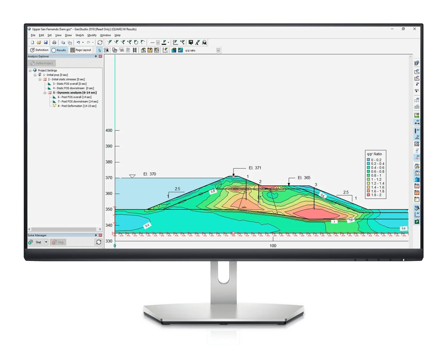
Reality Modeling and geotechnical analysis to design a long dam

PT Hutama Karya needed to build a 3.1-kilometer-long dam with a capacity of 33 million cubic meters of water.

ROI:

1. Adjusting the slope design to ensure strength and safety helped the organization avoid
an estimated USD 1.8 million in rework while ensuring continued safety.

2. Geotechnical analysis eliminated the need to construct a grouting foundation and reconstruct the secant pile, saving USD 2 million.

We are your communicator

Our Service

We are Bentley Partner for the D-A-CH region. You are right, we are no users by ourselves. But if you have very detailed questions, we know whom to ask in our large Bentley and international Bentley partners network.

Contact Us

We will listen to you, understand what you really need and find the best solution.
And more: We take care of all necessary communication with Bentley 4U.

Virtuos4u - virtuoso subscribtion

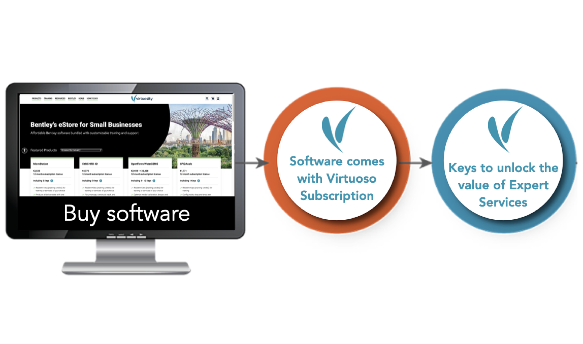
Best offer 4U - Subscription Licensing

 
Annual subscriptions

πŸ‘  Low entry costs

πŸ‘  Flexible interception of short-term peaks or downs in work volume 

πŸ‘  Planning reliability of software costs

πŸ‘  Always up-to-date software without update costs / SWART fees